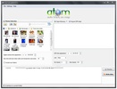
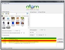
Atom GPS is a simple application to add geotags to your pictures with a simple click. If you want your pictures to be oriented on the map, connect this application to your geolocation device and rewrite the EXIF data from your images.
This program accesses the information stored on the files – such as date, time, type of camera, and its technical specs – and includes the geographical information of where you took the picture.
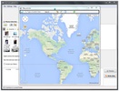
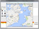
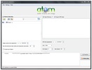
Using Atom GPS is really simple: just take pictures and send them to your PC to extract their metadata with this program. Then click on Write Data and a map will open up where you can set the coordinates for each picture.
Atom GPS is compatible with practically all digital cameras and the most popular GPS devices, so you don't have to worry about the format of your pictures, as it can recognize almost every extension.










Comments
There are no opinions about Atom GPS yet. Be the first! Comment